


Why the Coastline Length Changed
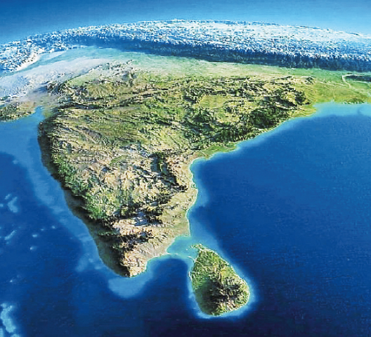
India's coastline increased from 7,516.6 km to 11,098.8 km, as per a 2024 report.
No new land was added — the change came from more accurate measurement methods.
Older measurements from the 1970s used low-resolution maps (1:4,500,000), missing finer features.
New measurements use advanced tools like GIS, LIDAR-GPS, satellite data, and detailed electronic charts (1:250,000 scale).
Features like estuaries, creeks, sandbars, and tidal areas are now included.
The coastline will now be reviewed every 10 years.
The Coastline Paradox
The coastline paradox shows that the measured length of a coastline depends on the scale used.
Smaller measuring units capture more detail, making the coastline appear longer.
Example: Using a 200 km ruler gives a shorter result than a 1 km ruler.
Coastlines behave like fractals, showing more complexity as you zoom in.
There’s no fixed length — the finer the measurement, the longer it becomes.
Why It Matters
A longer coastline impacts maritime security, disaster planning, and fishing zones.
Helps in better planning for cyclones, sea-level rise, and coastal regulation.
Affects economic zones and resource rights in the sea.
May require updates in textbooks, maps, and official data.
Shows how technology improves understanding of geography — the coast didn’t change, but our tools got better.


COMMENTS